
Free Nautical Chart App for iPhone — your whole passage on one chart.
// free nautical chart app · offline sea maps · AR navigation · iPhone & Apple Watch
A free nautical chart app for iPhone that brings detailed offline sea maps, AR waypoint guidance and marine weather to sailors, boaters and fishermen. Depth contours, harbours, anchorages and lighthouses on a high-detail marine chart — with an AR navigator, GPX route planning and up to 2 GB of offline tiles cached on your device.
Screens
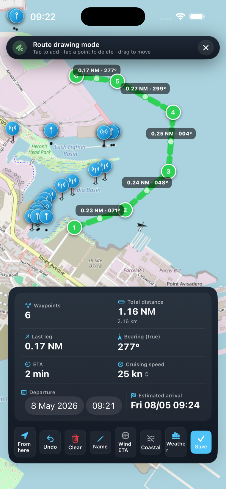
From chart to camera.
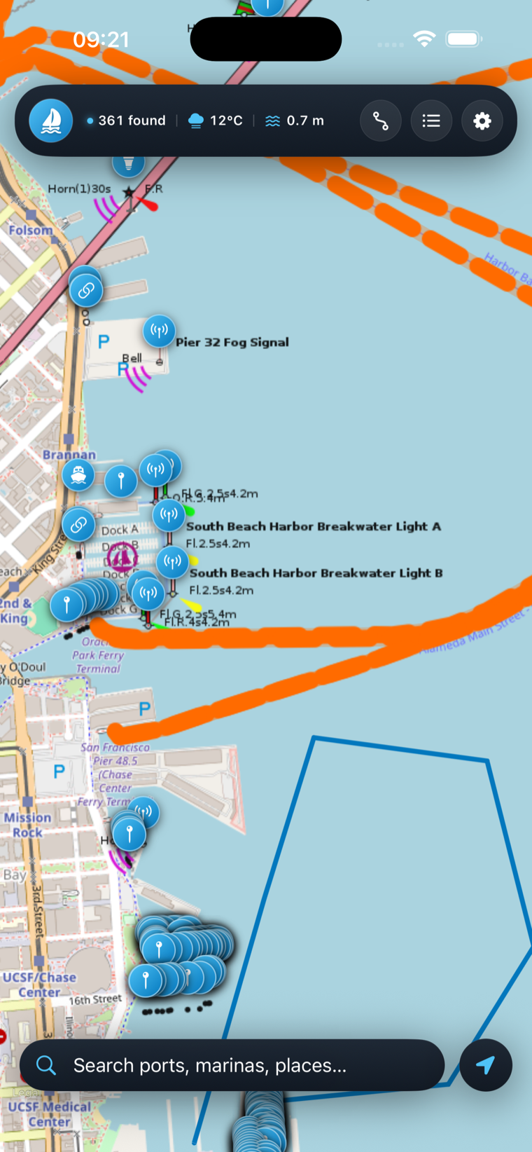
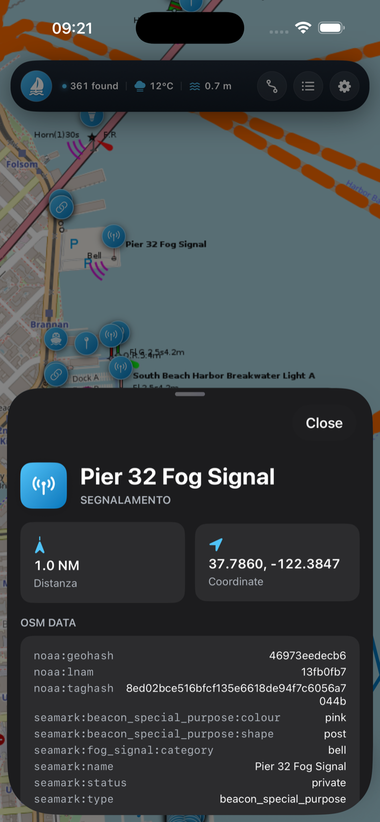
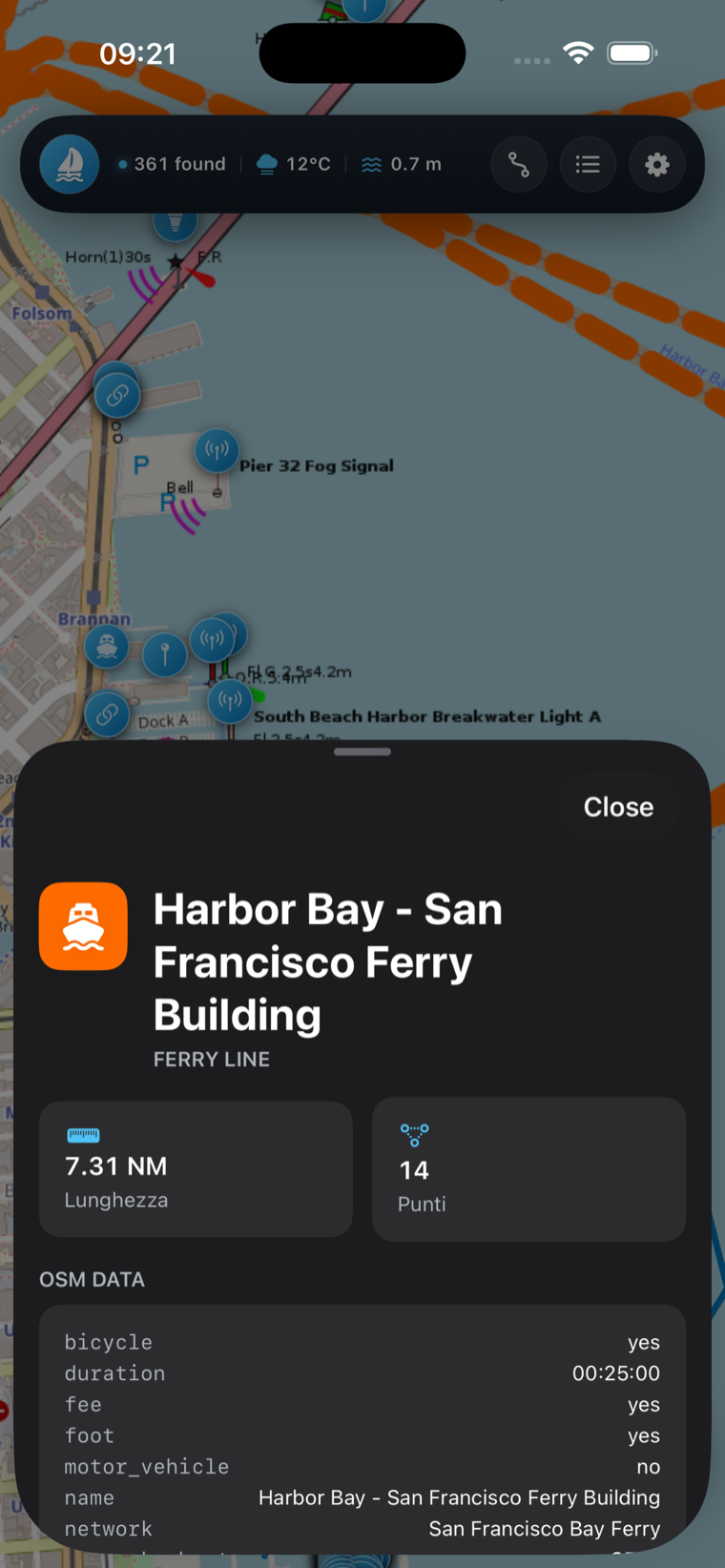
Real screenshots from the App Store. Tap any screen to see it full size.
Capabilities
Nautical chart features — everything on one chart.
Six instruments working together — and every one keeps running when the signal runs out.
High-detail sea chart
Depth contours, harbour entrances, anchorages, lighthouses, buoys, marinas, fuel docks, beaches and dive sites surface on the chart. Tap any POI for photos, a description and one-tap directions.
Offline tile cache
Store up to 2 GB of map tiles persistently — anything you view once stays available offline. A route prefetcher downloads every tile along a planned passage before you leave the dock.
AR navigator
Overlays your destination as a luminous 3D beacon on the live camera, with a pulsing cone for the bearing and a live distance label — perfect for unmarked anchorages, mooring buoys and hazy, featureless horizons.
Route planning
Tap waypoints to build routes, save them with custom names and follow turn-by-turn guidance. Import and export GPX, and run navigation in the background with low battery impact and audible + push arrival alerts.
Weather & sea-state
Wind direction and speed, wave height, sea state and a short-term forecast are woven straight into the map — everything you need for a confident go / no-go decision before casting off.
Apple Watch companion
Bearing, distance to your next waypoint and current speed at a glance on the wrist — sun-readable contrast and minimal battery impact, so the helm always has the numbers that matter.
Specs & privacy
Nautical GPS app specs & privacy.
Open sources, no account, no hidden tracking. The chart and your position stay where they belong.
Privacy first
No account, no hidden tracking and no follow-you-around ads — your location stays on the iPhone. Charts come from OpenStreetMap and weather from Open-Meteo, both keyless and signup-free. The app includes Google AdMob (removable with Pro) and shows Apple's standard ATT prompt, so you stay in control.
More instruments
The rest of the collection.
One philosophy across sea, trail, summit and the off-grid airwaves.
Questions
Free nautical chart app — FAQ
Cast off
Set your course.
Free to start, no account, no signal required. Put the whole chart in your pocket before the next passage.