
Best Offline Hiking App — six topo layers, one open world.
// best offline hiking app · free topo maps · offline tiles · iPhone & Apple Watch
The best offline hiking app for iPhone — free topographic maps sourced from OpenStreetMap, with six open-source layers, offline tile downloads and turn-by-turn directions. Pre-load your topo tiles and hike off the grid with confidence, from a day trail to a multi-day traverse. Full Apple Watch and Mac apps included.

Screens
The map, the trail, the wrist.
Real screenshots from the App Store — six topo layers, offline downloads, turn-by-turn maneuvers and the standalone Apple Watch app.
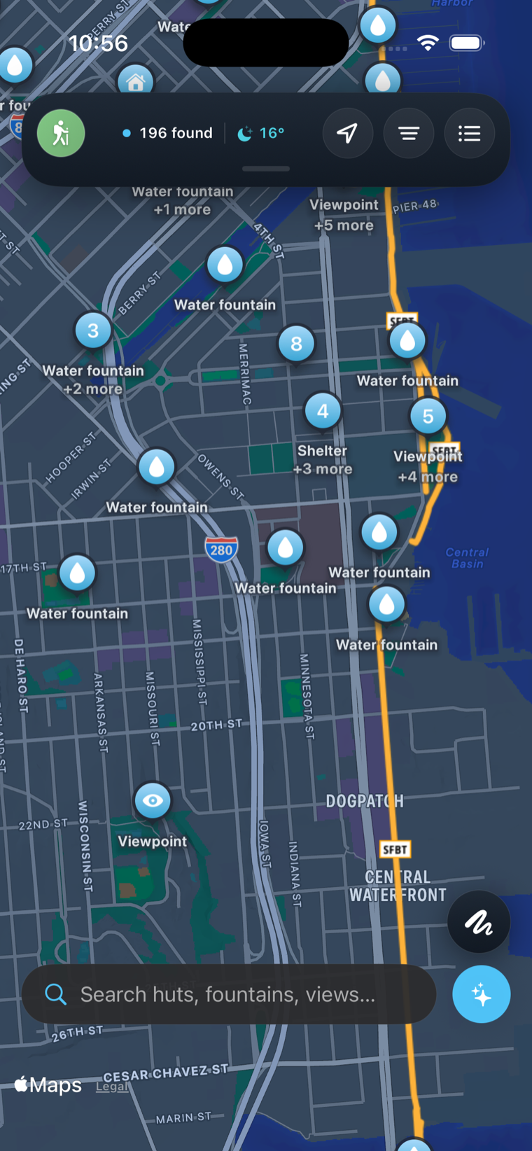
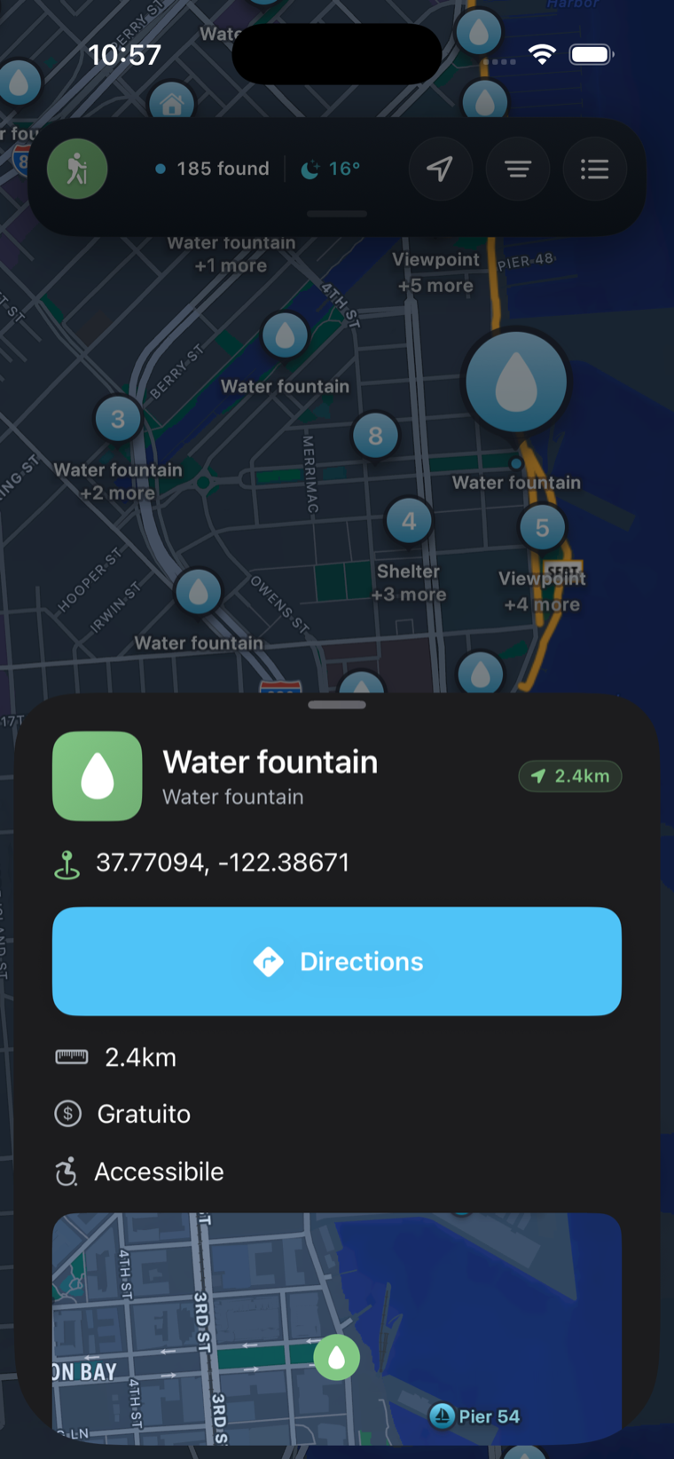
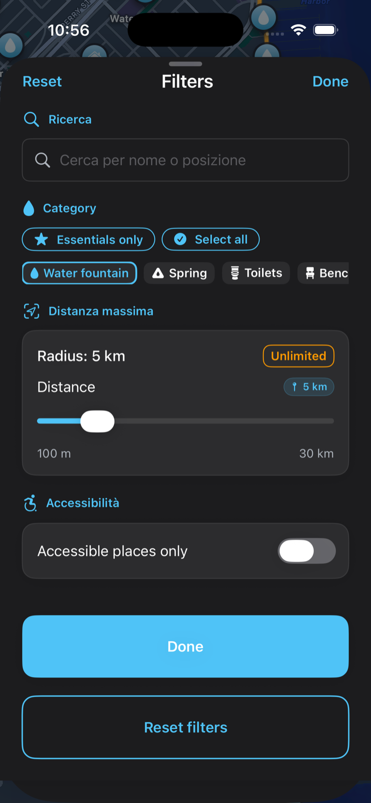
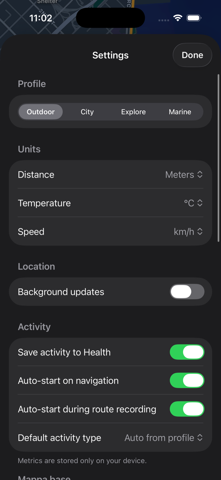
OpenMaps for Mac — the whole trail on the big screen
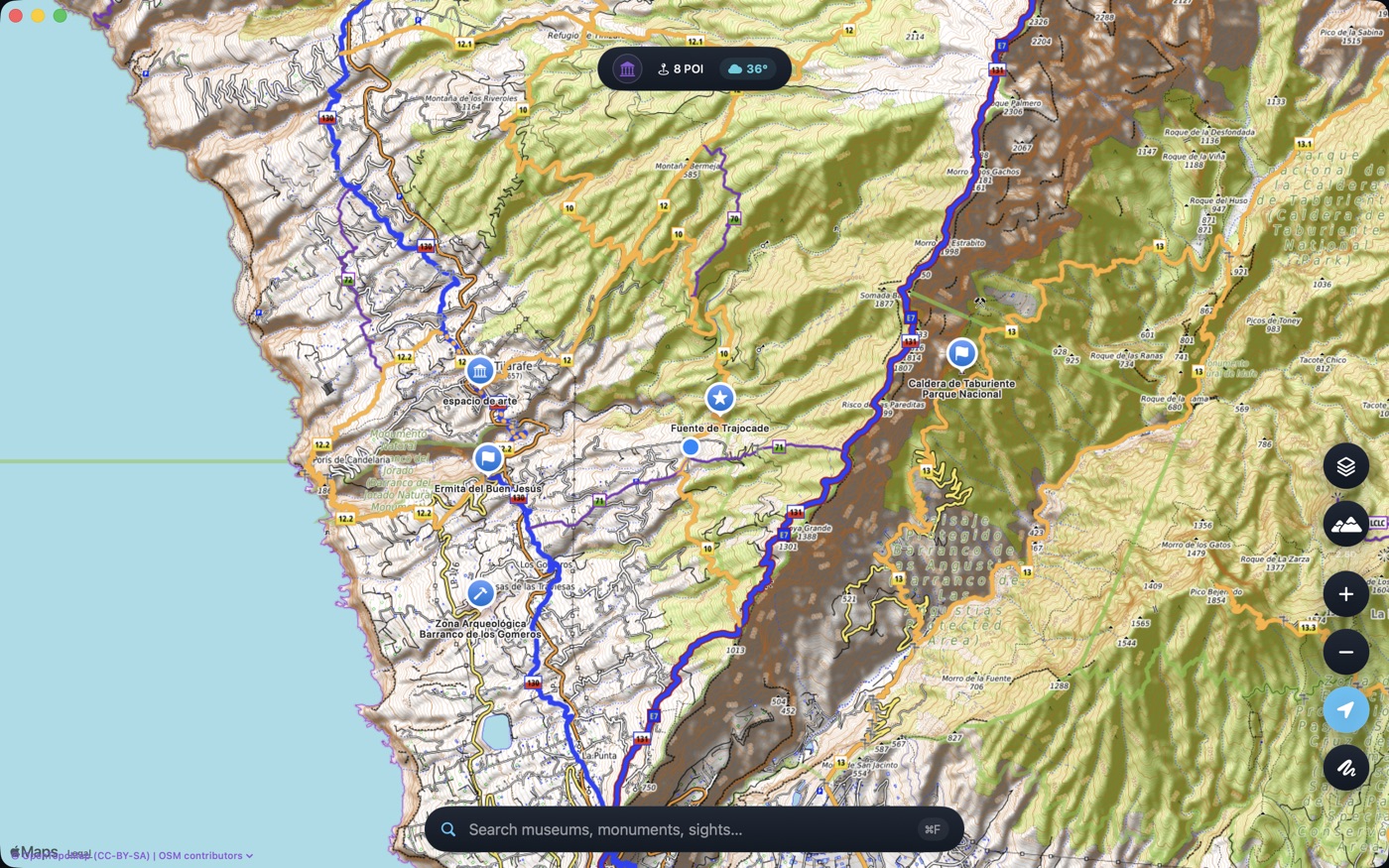
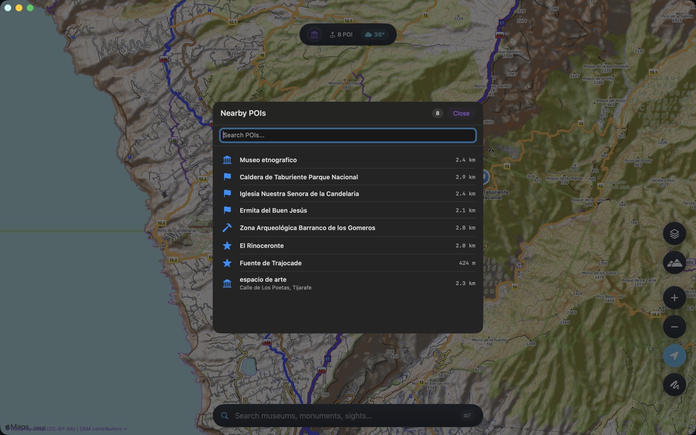
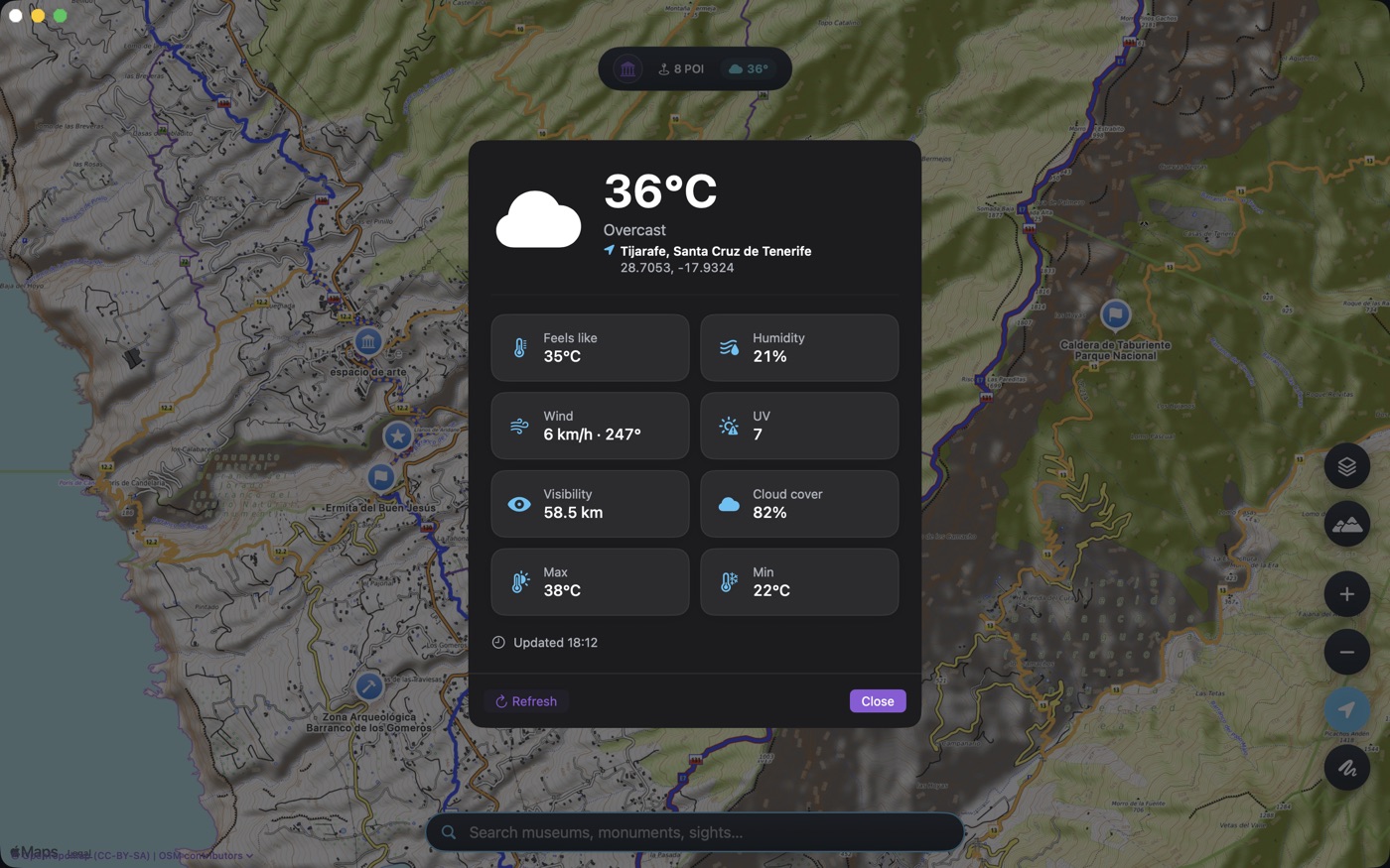
The topographic map comes to the desktop: plan routes across six open layers at full resolution, browse nearby museums, monuments and sights with distances, and check live weather — temperature, wind, UV and visibility — for the exact area you're viewing.
What it does
Offline topo maps — built for the field
Everything is sourced from freely editable OpenStreetMap data, kept current by local volunteers — and tuned to keep working when the signal runs out.
Six topographic layers
Six open-source topo map styles, rendered as live tiles from OpenStreetMap and other open servers — contours, trails and terrain for hikers, mountaineers and bikers.
Offline pre-download
A disk cache holds every tile you view, and offline pre-download saves whole regions in advance. A forgotten paper map is never a problem again.
Turn-by-turn directions
A new maneuver engine gives clear turn instructions, distances to each junction and haptic feedback on the wrist, so you can navigate without staring at the screen.
Full Apple Watch app
Record workouts with HealthKit, run a standalone map with Digital Crown zoom and Always-On mode, and follow route navigation right from your wrist.
Complications & widgets
Glanceable Altimeter, Nearest POI, Live Workout and Weather complications and home-screen widgets keep your essentials a single look away.
First-class Mac app
A native Mac app with the full topographic map on the desktop — six open layers, nearby POI search with distances, live weather for the area you are viewing, plus a menu-bar item, Spotlight integration and Quick Look previews.
The details
Offline hiking app specs & privacy
Free to use, with an optional Pro subscription that removes all ads. Map data comes from the community — no walls, no keys.
Privacy & community
Maps are built on freely editable OpenStreetMap data, kept current by local volunteers — useful for hikers, mountaineers, bikers, explorers, GIS professionals and urban planners alike.
OpenMaps Pro removes all ads and supports Family Sharing: €1.99/month or €9.99/year with a 7-day free trial. The latest release adds refreshed onboarding with integrated Health setup, plus stability, privacy and performance refinements.
The collection
More instruments.
Four more apps for sea, summit and the spaces with no signal at all.
FAQ
Best offline hiking app — your questions answered.
Everything you need to know about free offline hiking maps, topo layers, Apple Watch and the Mac companion.
Take it on the trail
Every path, already downloaded.
Free to start, no account required. Pre-load your topo tiles and walk off the grid with confidence.