La Palma Español Get a quote
STUDIO LA PALMA EST. CANARY ISLANDS PLATFORM iOS · watchOS · macOS

An independent iOS studio

Offline iOS navigation apps for the
wild edges of the map.

Free offline navigation apps for iPhone and Apple Watch — nautical charts and sea maps for sailors, an anchor drag alarm that watches all night, topographic hiking maps and a GPS altimeter with barometer. Sensor-driven, privacy-first, and tested where the signal runs out.

5
Flagship apps
0€
API keys · accounts
2,426m
Sea level → summit
100%
Works offline
OpenMaps topographic map app screenshot
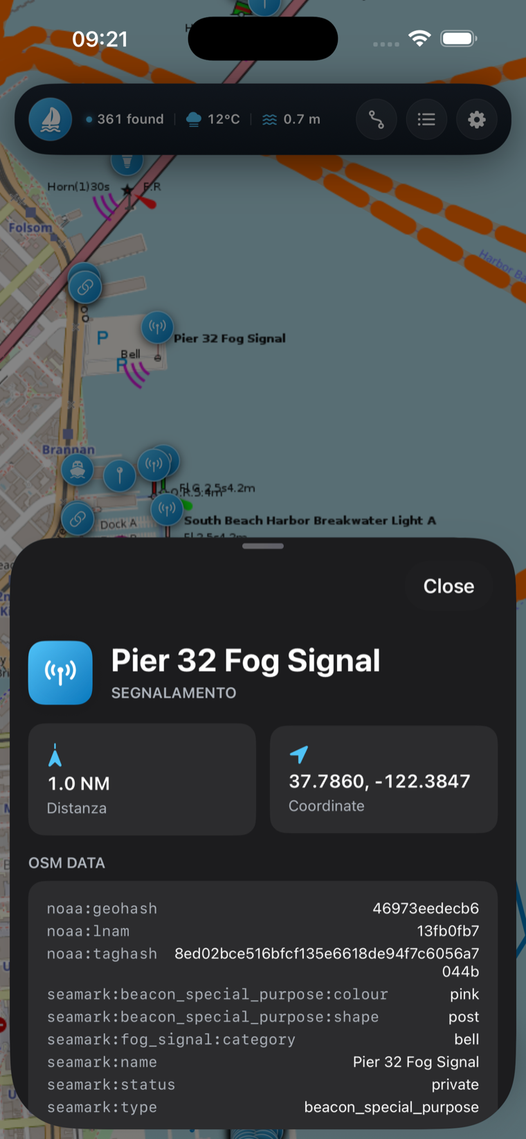
Sea Maps nautical chart app screenshot
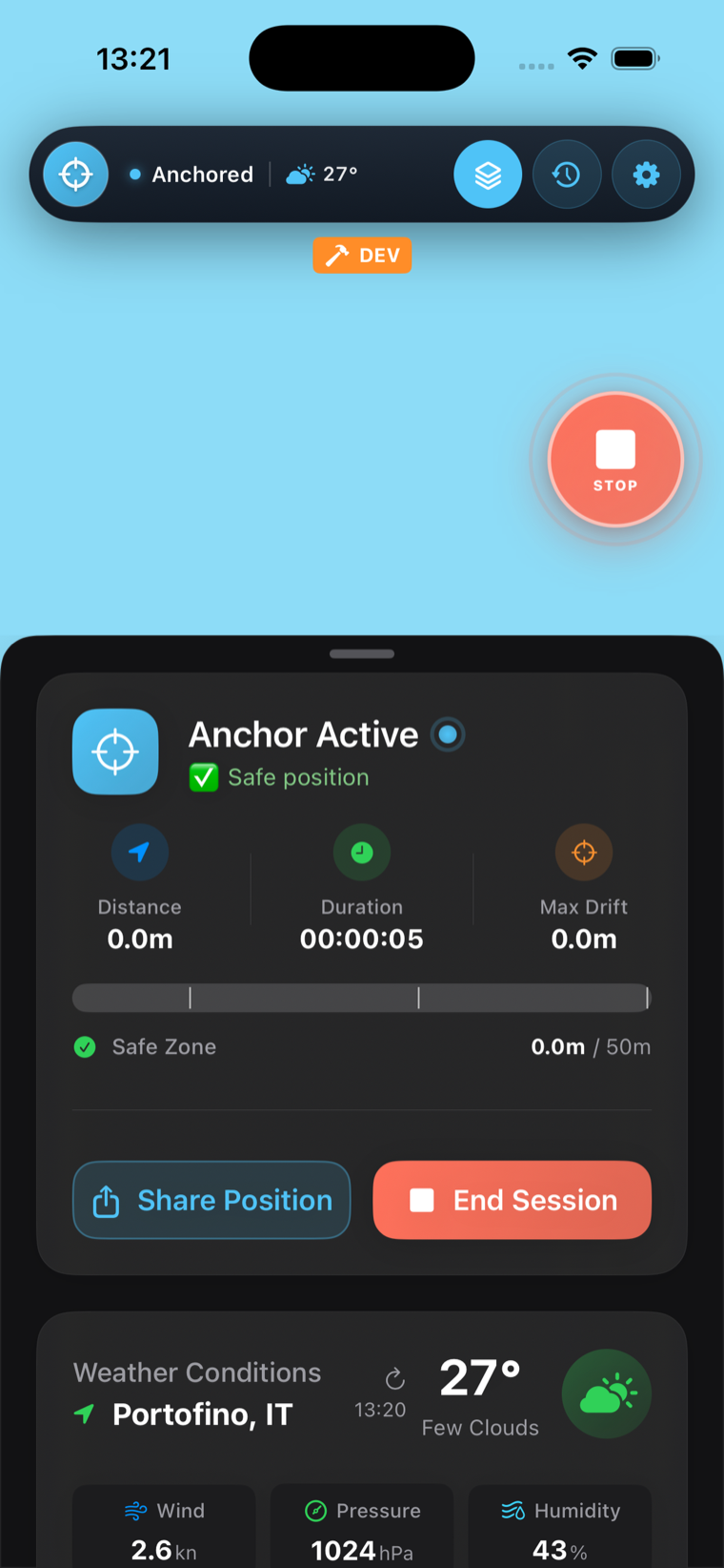
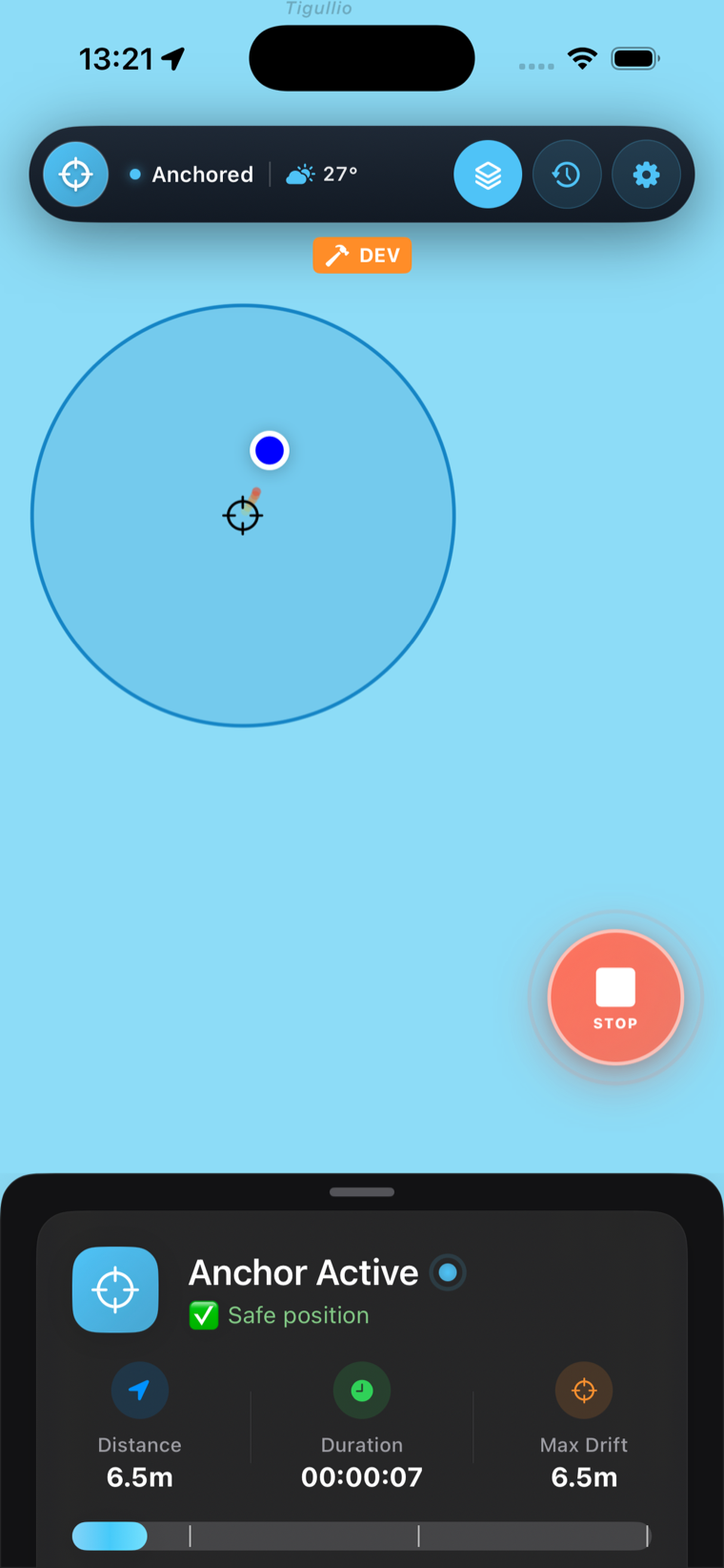
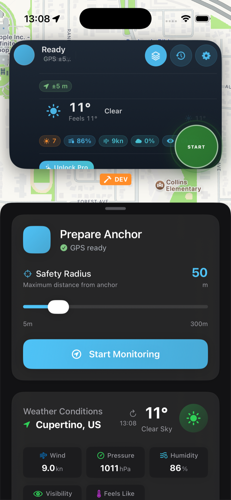
Anchor Alarm app screenshot

The collection

Four instruments, one philosophy.

Each app is built around a single job done exceptionally well — and every one keeps working when the bars disappear. Real screenshots, straight from the App Store.

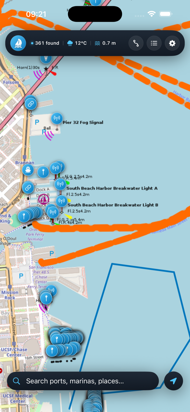
Sea Maps & AR Boat GPS — chart view
Marine · NauticalSea Maps & AR: Boat GPS

Your whole passage, on one chart.

// detailed sea charts · AR waypoints · live weather

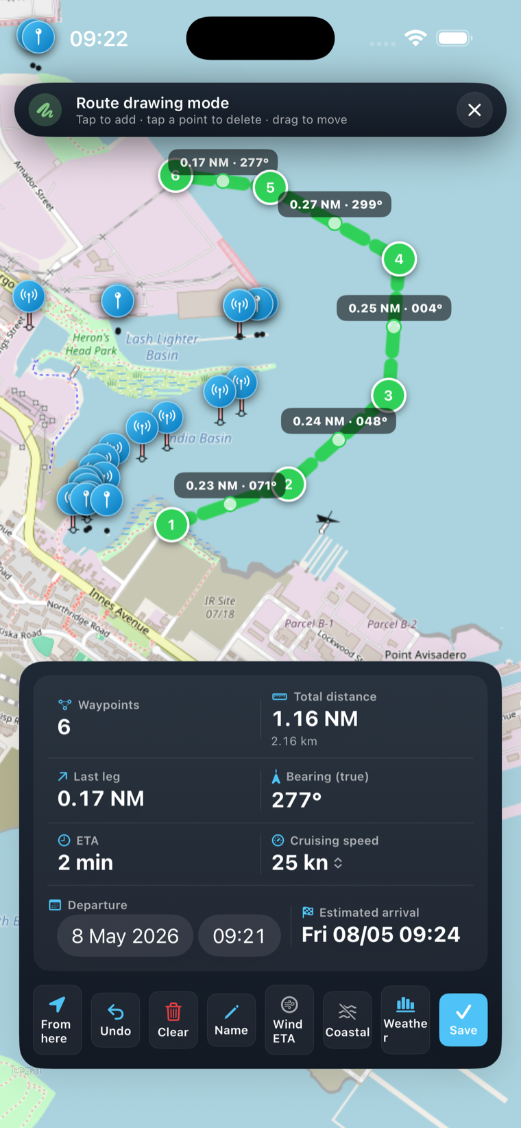
High-detail nautical charts with depth contours, harbours, anchorages, buoys and lighthouses. An AR navigator paints your destination as a beacon on the live camera, routes plan turn-by-turn, and up to 2 GB of tiles are cached so the chart never goes blank offshore.

AR waypoint beacon Offline tile cache GPX import / export Marine weather Apple Watch
Anchor Alarm — drift radius view
Marine · SafetyAnchor Alarm: GPS Boat Watch

Sleep at anchor. Actually sleep.

// kalman-filtered drift alarm · offline · critical alerts

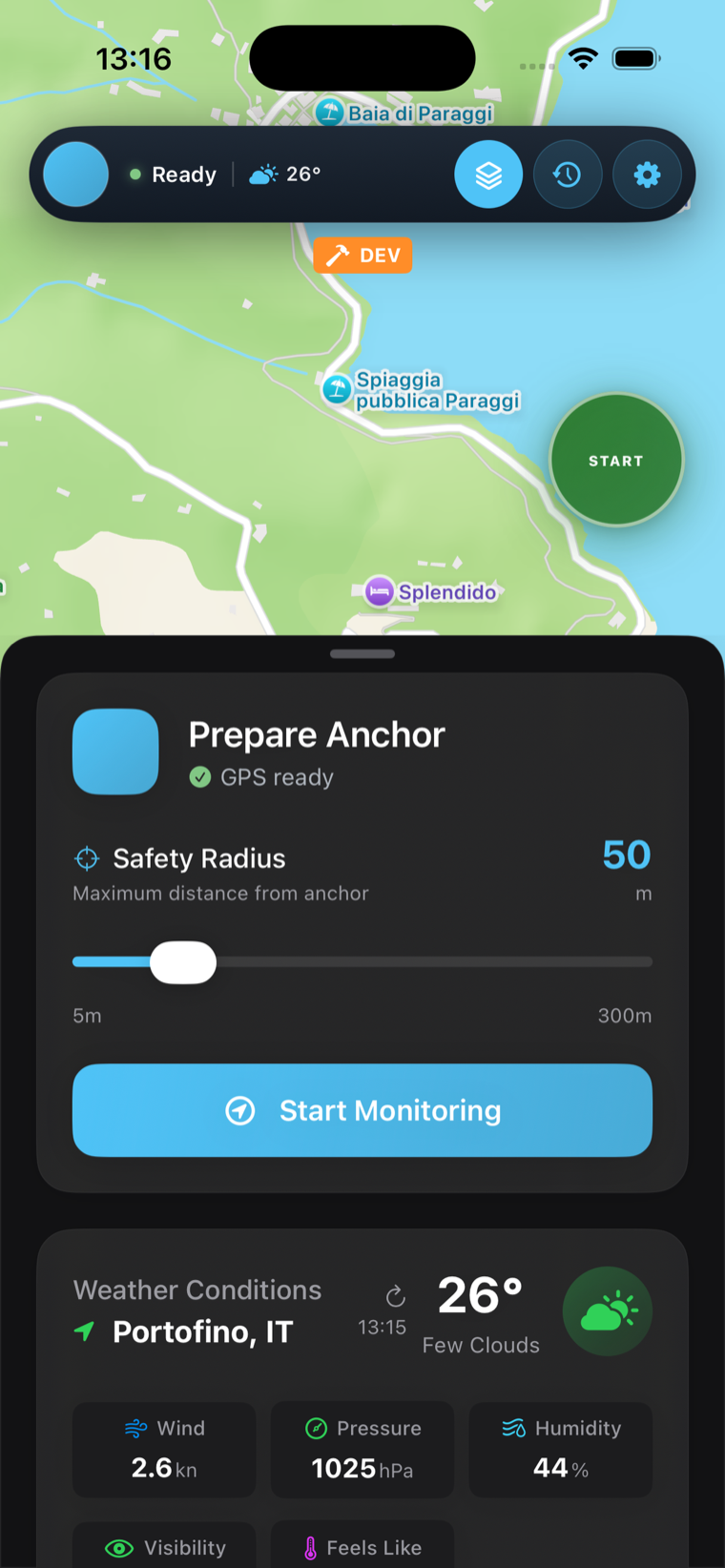
A silent watchkeeper that never blinks. Drop the hook, set a safety radius, and the moment you drag past it the alarm fires loud enough to wake a closed cabin — bypassing silent mode. Kalman filtering kills the 3 a.m. false alarms that plague other apps, and it works with no signal, anywhere.

Drift prediction Critical alerts Swing heat-map OpenSeaMap overlay Live Activity
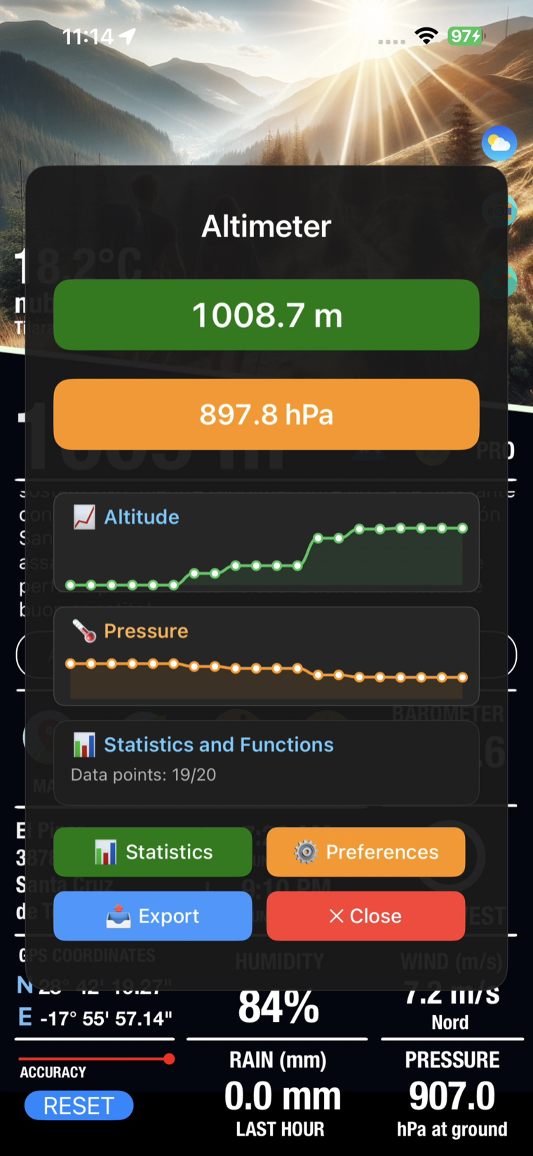
Peak — GPS altimeter and barometer
Mountain · OutdoorPeak — Altimeter GPS Barometer

Read the mountain. Even without signal.

// altimeter · barometer · compass · AI trail guide

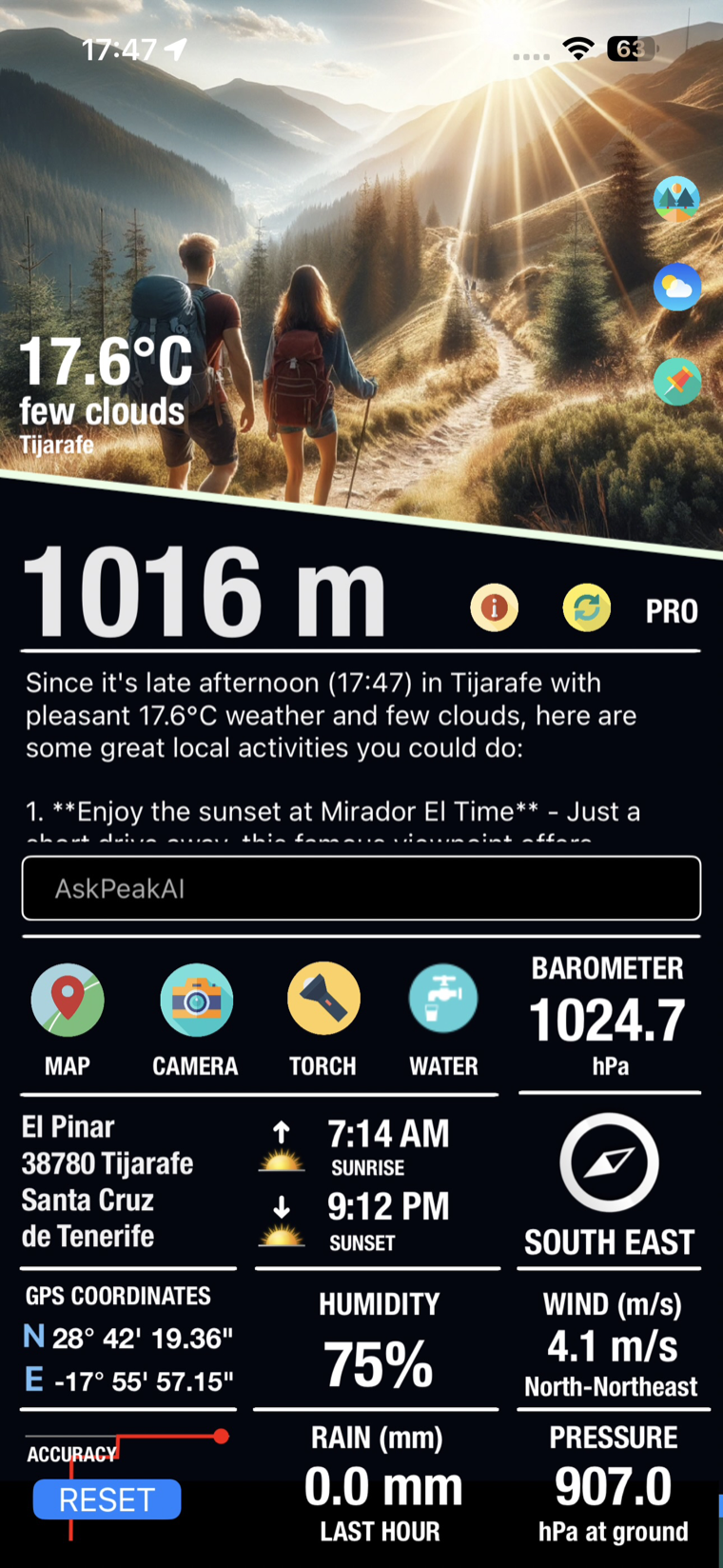
Precise altitude in metres or feet, atmospheric pressure, compass, sunrise & sunset and a barometer-based forecast — all from the iPhone's own sensors, fully offline. An AI assistant reads your context (the screenshot you see was taken in Tijarafe, La Palma) and suggests what to do nearby. Five home-screen widgets included.

Offline altimeter Barometer forecast 5 widgets AI trail assistant Apple Watch
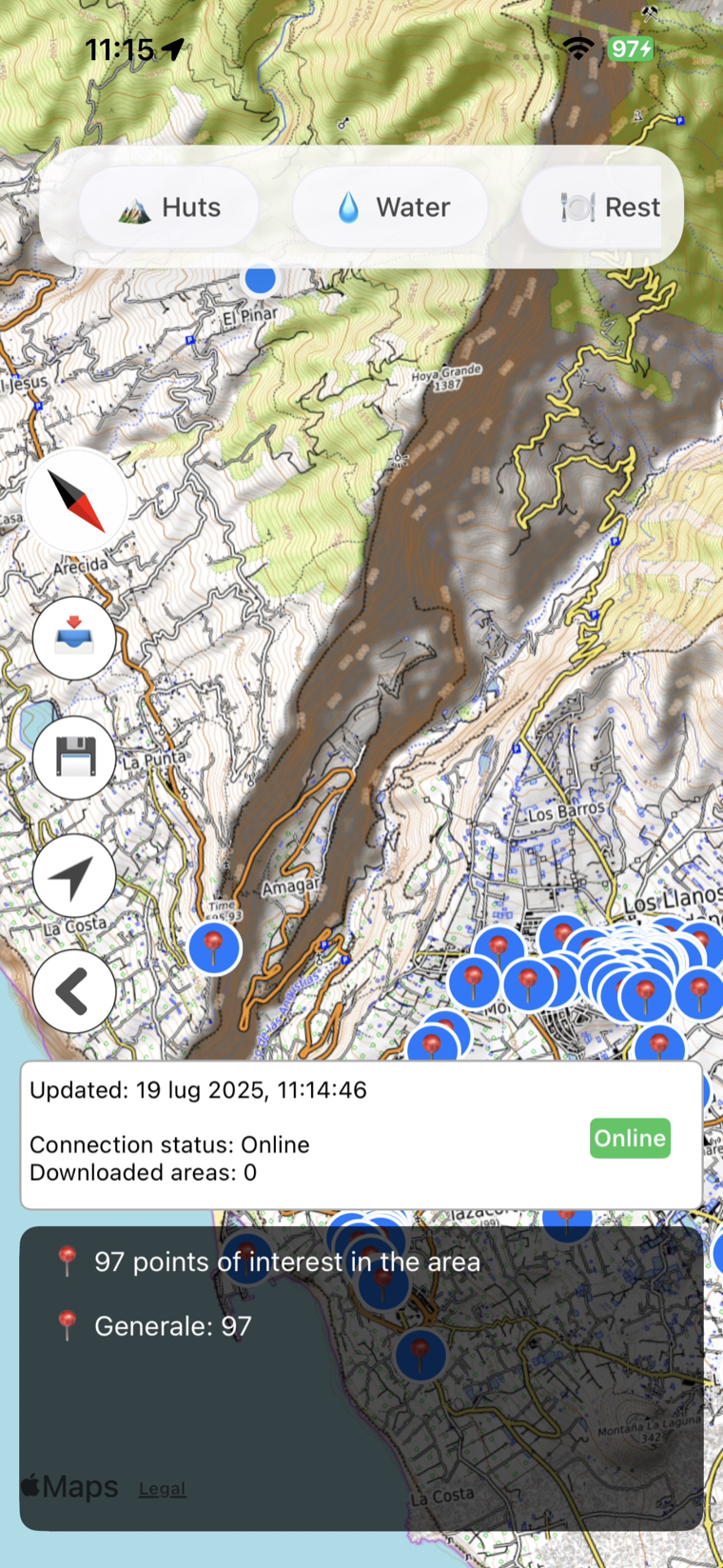
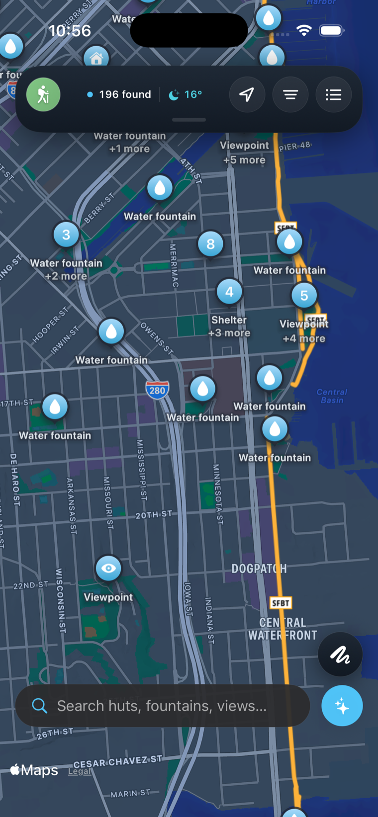
OpenMaps — topographic trail map
Trail · TopographicOpenMaps — Topographic Maps

Six topo layers. One open world.

// openstreetmap · offline tiles · turn-by-turn

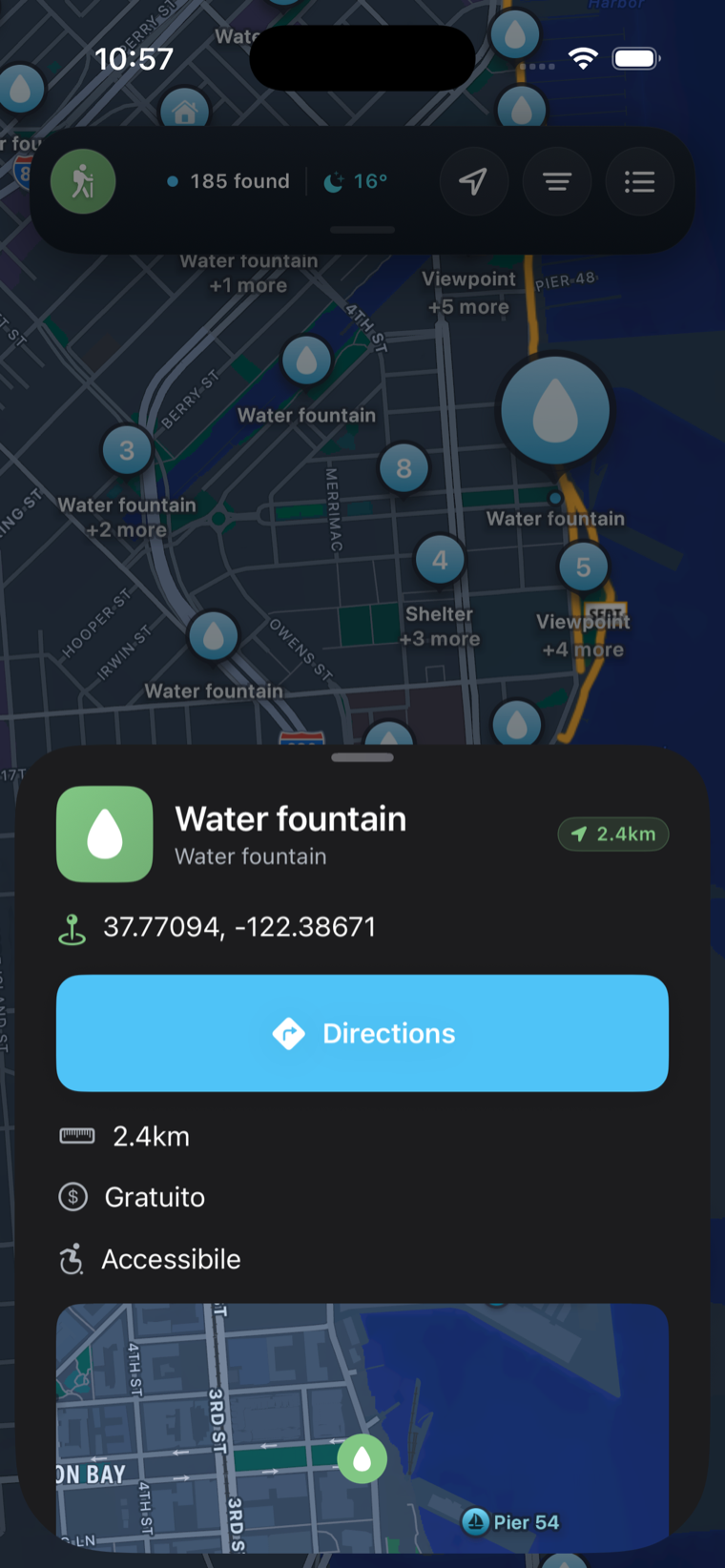
Detailed, community-built topographic maps for hikers, mountaineers and bikers — six open-source layers rendered live, with disk cache and offline pre-download so a forgotten paper map is never a problem. New maneuver engine for turn-by-turn directions, plus a full Apple Watch app with workout recording and Digital Crown zoom.

6 topo overlays Offline pre-download Turn-by-turn HealthKit workouts Watch · Mac
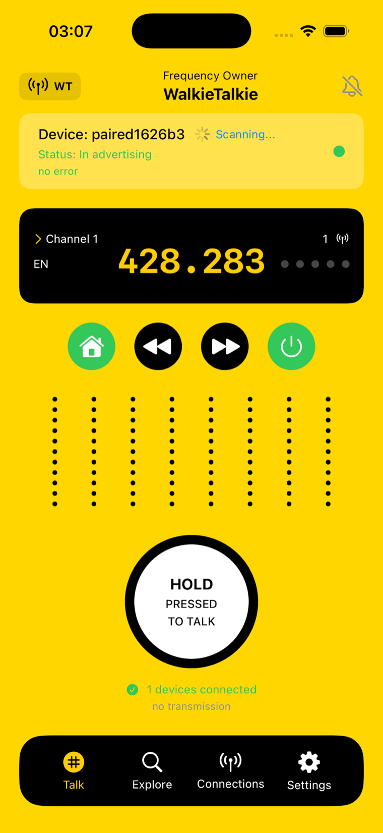
Talky — push-to-talk walkie talkie
Comms · Off-gridTalky — Walkie Talkie, Radio

Talk with no network at all.

// push-to-talk · peer-to-peer · global FM radio

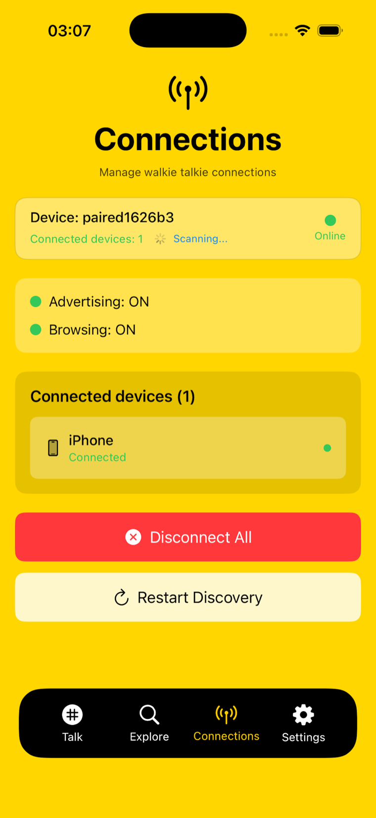
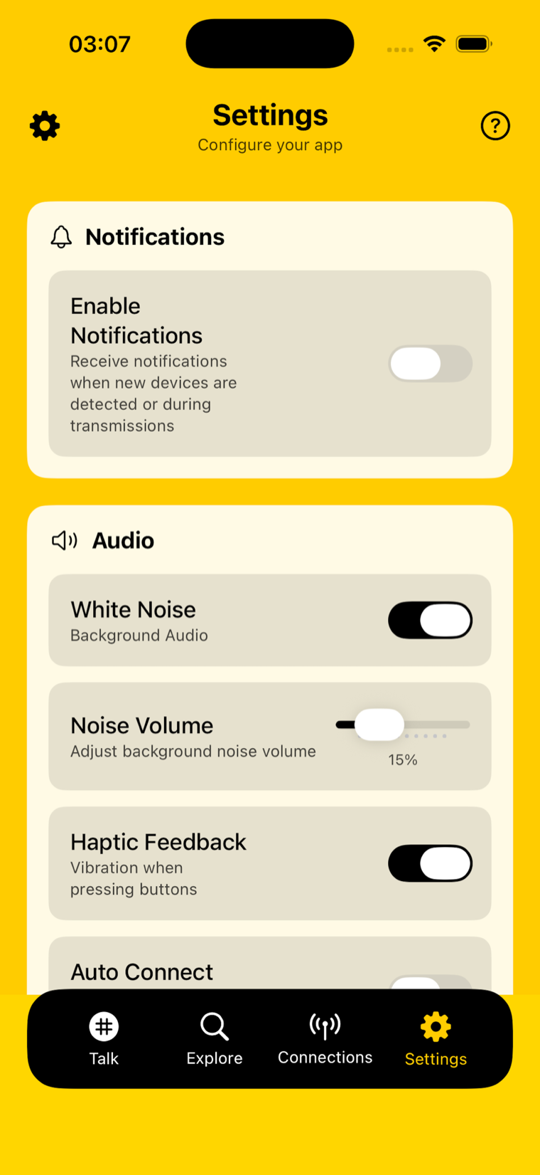
Turn an iPhone into a portable radio station. Talky links nearby devices directly over encrypted peer-to-peer — no internet, no SIM — with low-latency push-to-talk, an interactive sonar radar of who's in range, and up to eight simultaneous connections. When you are online, a global FM radio streams thousands of stations. Now with macTalky, a native Mac field-radio console. Open source.

Offline P2P Push-to-talk Sonar radar Global FM radio Encrypted Mac app
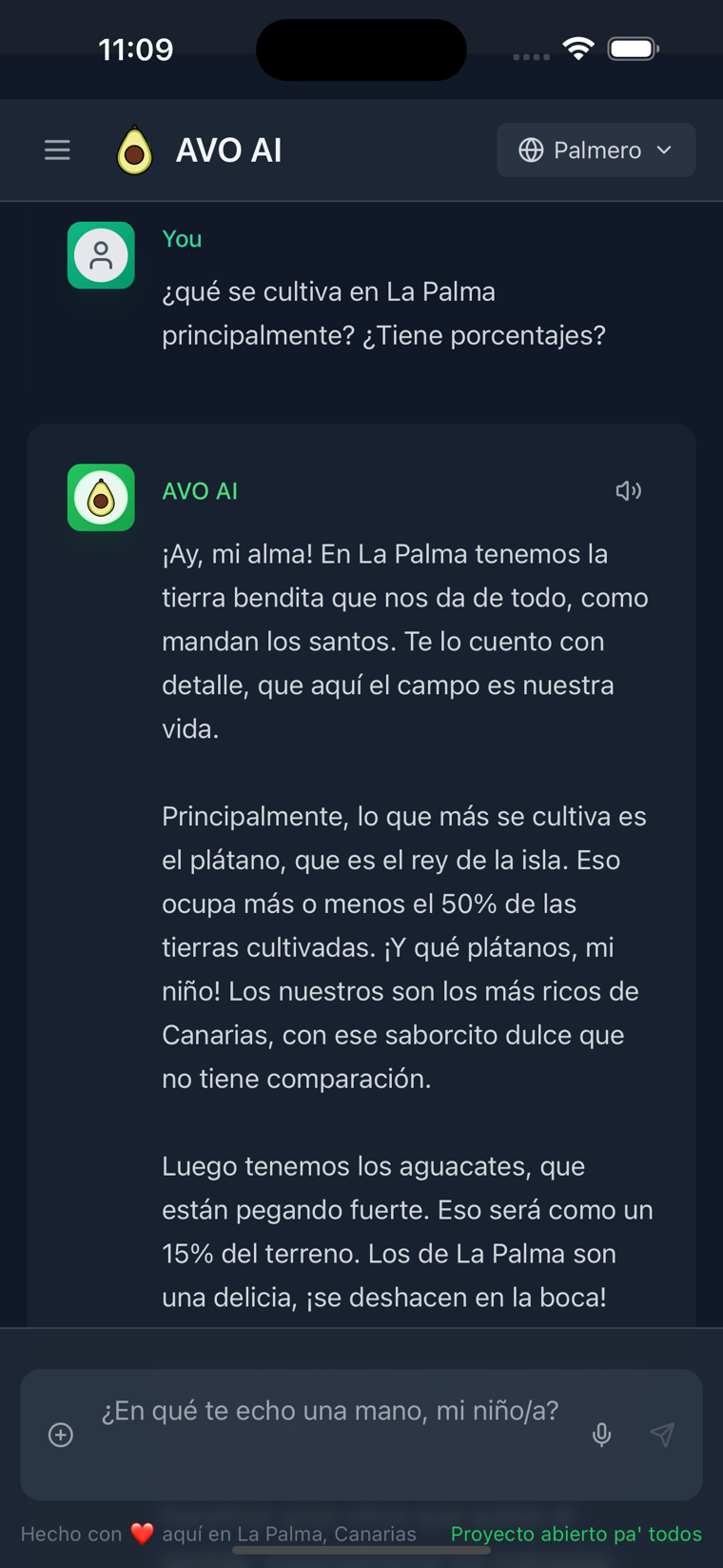
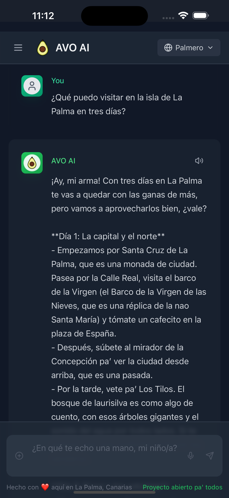
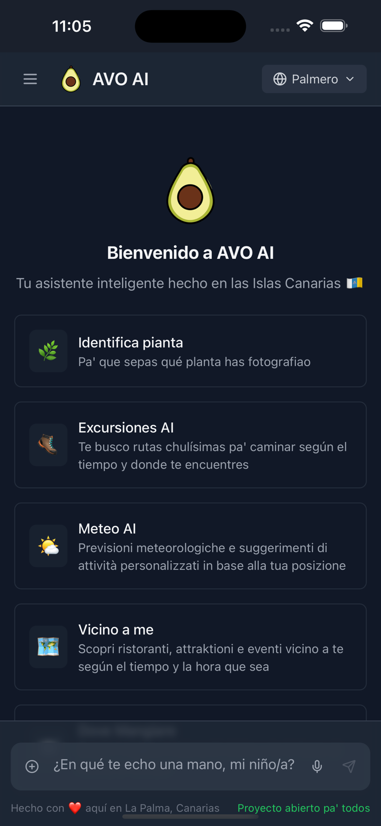
AVO AI, AI assistant born in La Palma
AI · Island guideAVO AI, Asistente inteligente

Ask the island anything.

// ai chat · live weather · hikes · plants

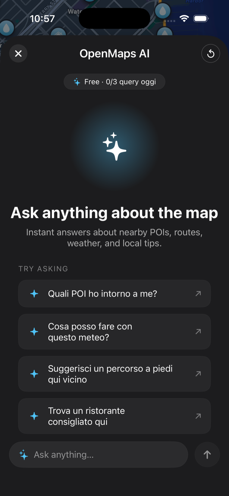
An AI assistant that talks like an islander. AVO AI reads your location, the time of day and the live weather to suggest hikes, bike rides, restaurants and quiet places nearby, identifies plants from a photo and answers anything about the Canaries in six languages, plus a Palmero mode that speaks like a local. Free, no account.

AI chat Live weather Hikes & rides Plant ID Palmero mode

How we build

Principles that survive the field.

The same four rules run through every app we ship. They are the reason our instruments still work when everything else asks you to sign in.

Offline first

Charts, tiles, altimeter and alarms run on the device's own sensors and cached data. The job gets done where there is no signal at all.

Privacy by default

No account, no hidden tracking, no GPS data sold. Your position stays on your iPhone. You decide what — if anything — you ever share.

Open data, no keys

Maps come from OpenStreetMap, weather from Open-Meteo — keyless and free. Honest, community sources instead of a wall of API contracts.

One system, every screen

A shared design language — the morphing header you see up top — runs across iPhone, iPad, Apple Watch and Mac, tuned for sun-readable contrast.

Why La Palma

Built on the island that goes from sea to stars.

La Palma drops straight from the Atlantic to the 2,426 m rim of the Caldera de Taburiente — a UNESCO Biosphere Reserve and one of the world's first Starlight Reserves, home to the observatories at Roque de los Muchachos. Sea level to summit, harbour to night sky. It's the perfect proving ground, and it's exactly the vertical range our apps were made to cover.

2,426 m Roque de los Muchachos · OpenMaps · Peak
~800 m Pine forest & trails · OpenMaps · Peak
0 m Atlantic coastline · Sea Maps
−40 m Anchorages & depth · Anchor Alarm
2426 m SUMMIT S/C de La Palma 28.6835°N · −17.7642°W · ISLA BONITA

Take one with you

Go further with less in your way.

Free to start, no account, no signal required. Pick the instrument for your next edge of the map.